Ohau - Temple Stream, Maitland and Freehold Creeks Loop
Studying maps of the area, we identified a number of saddles and ridges which looked easily accessible and planned a rough route traversing these valleys. For added interest we could see there was plenty of small mountain lakes and tarns in the area, good for a refreshing dip and picturesque campsites.
Day 1
After an early morning drive up to Temple Stream road end, we make our way up the south branch.
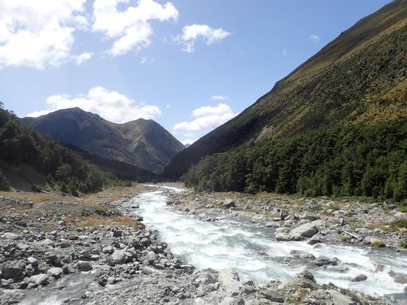
Scree fields run down from the peaks above us all the way to valley floor.
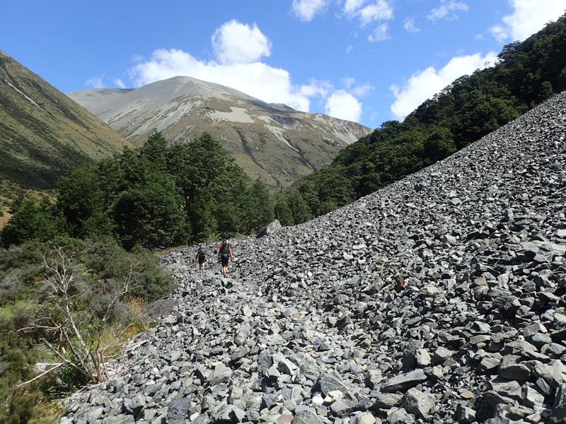
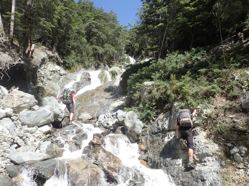
At South Temple Hut we branch off, following the side creek west and then a second branch south. For the most part the bush is open and route finding is simple enough, although at times it is easier to climb the creek itself.
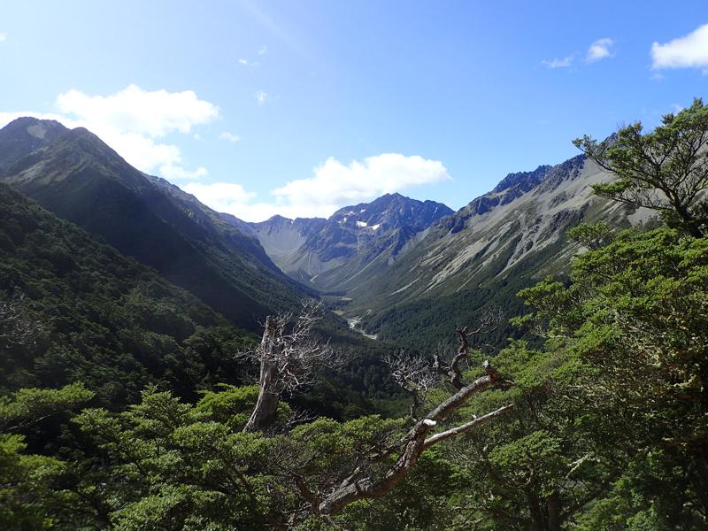
After some climbing we are granted a view out of the bush, northwards into the upper reaches of the South Temple.
The going gets easier after emerging from the bush, we now follow the creek up rocky slopes.
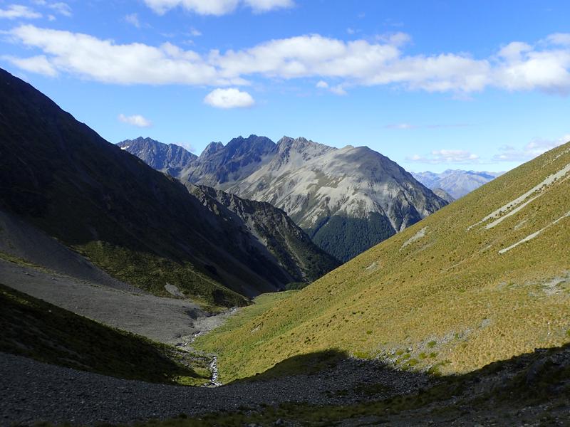
The view up towards our final climb of the day to point 1864. It is interesting to see that the creek below the waterfall in this picture actually disappears into the permeable scree before reappearing further below us.
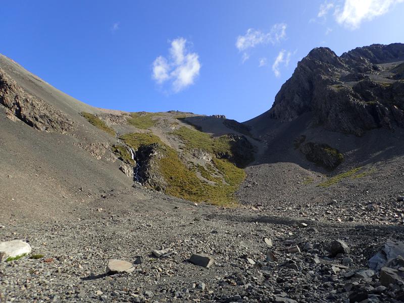
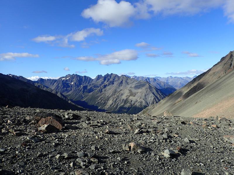
Magnificent views back down into the South Temple from point 1864.
We manage to find some tent spots on the grassy patches above the two tarns tucked away in this basin.
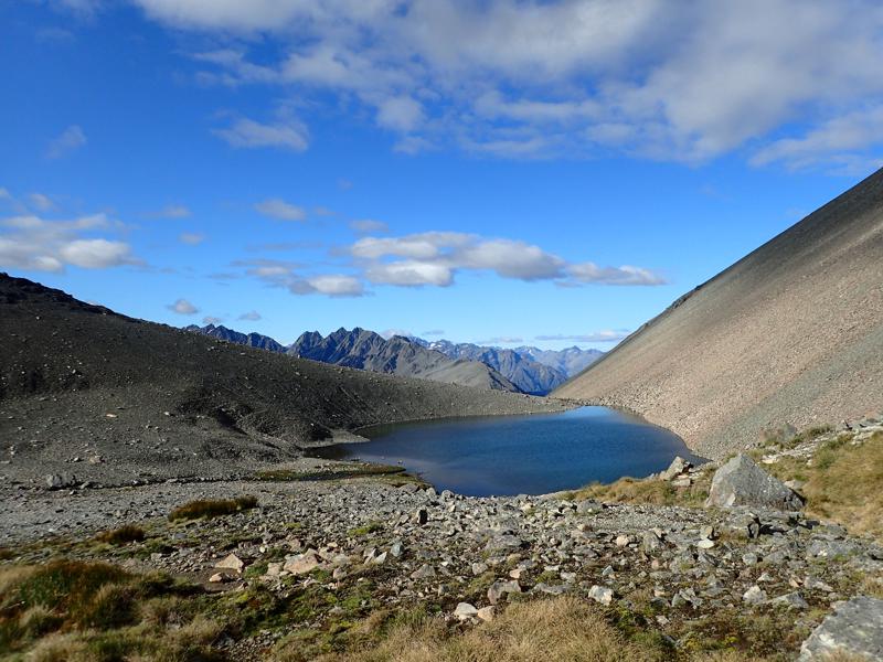
It has been a hot day and a dip here is welcome refreshment before dinner, although potentially one of the colder alpine plunges I have ever had!
Day 2
From our campsite we head south east to cross the saddle between points 2222 and 2090. From here our grassy campsite nestled between the two tarns is more obvious.
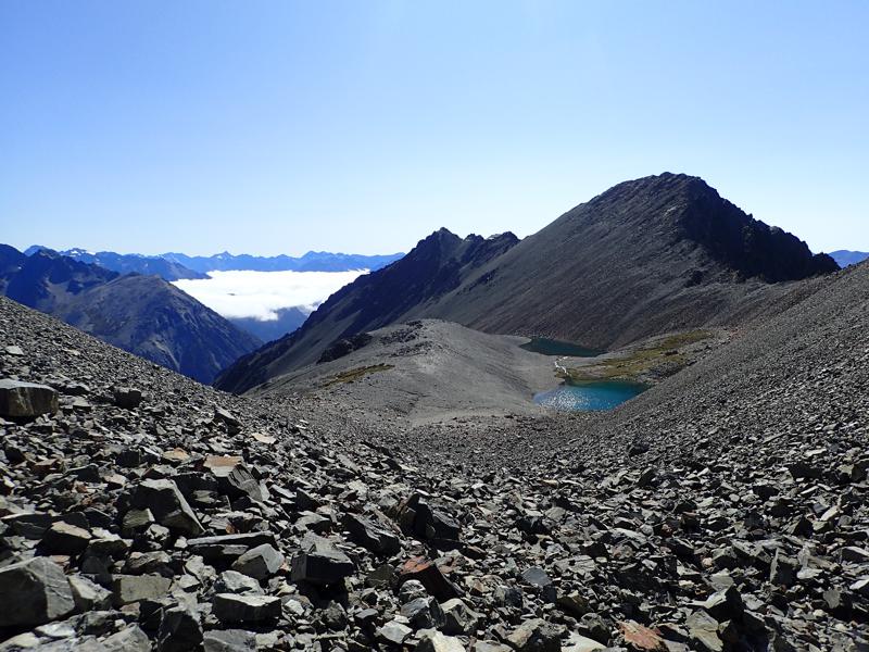
I have never been through an area quite like this, where everything around is loose rock. It is still morning but already the day is baking hot.
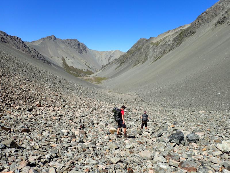
Descending further into the valley we cross some grassy patches, then traverse and climb up the true left side of the valley. This is looking back up where we have come down from; the saddle we crossed is just out of sight around to the right at the head of the valley.
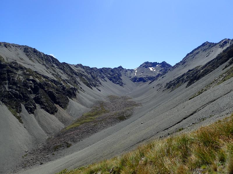
We climb steeply up a mixture of loose scree and the underlying rock spines to reach the ridge line. We have to be careful as there is some exposure up here and the loose rock does not inspire confidence. We are rewarded with stunning views for our efforts; with Mount Barth most prominent above the Ahuriri Valley.
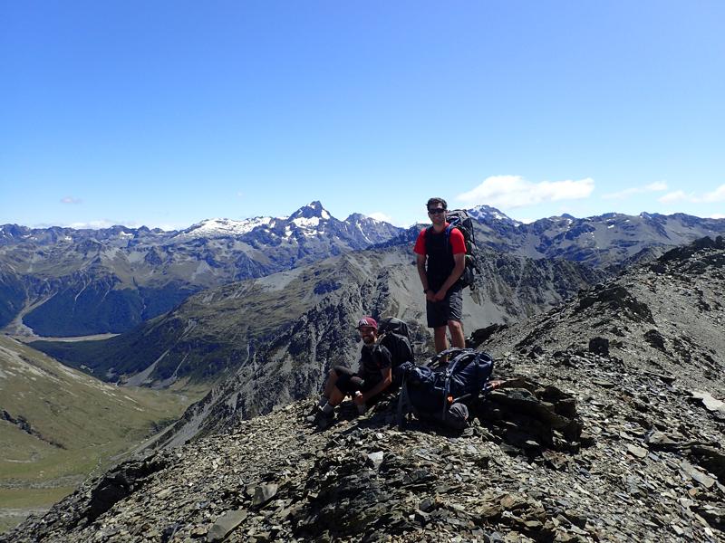
From here we can traverse along the ridge to point 1821. The gradient is easier now and the scree more sure underfoot. Though the endless rock still feels barren and inhospitable.
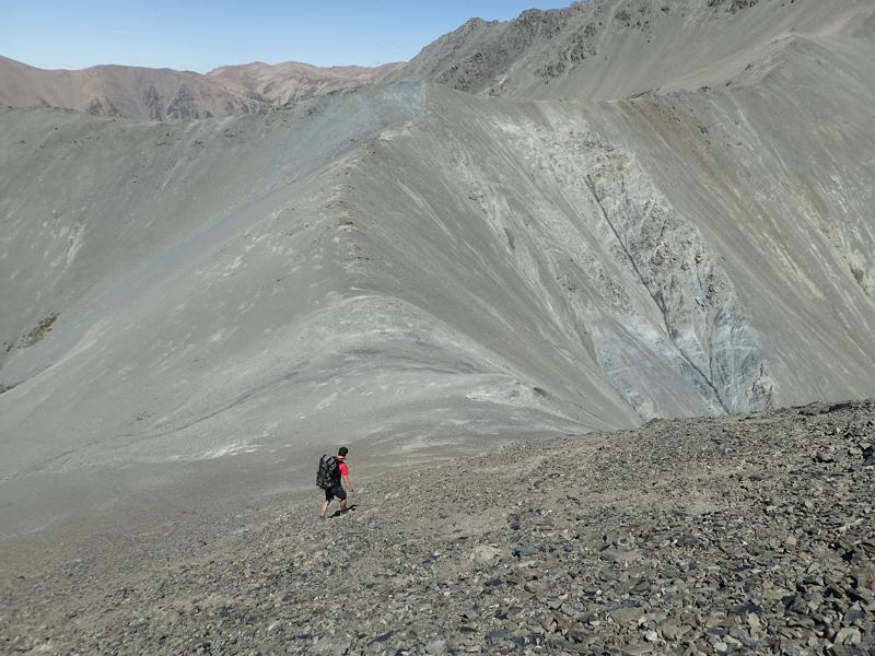
From point 1821 we descend south east, at first steeply down scree, then becoming more gradual with tussock. A hardy flock of merino sheep seem to be attempting to graze the barren rock slopes.
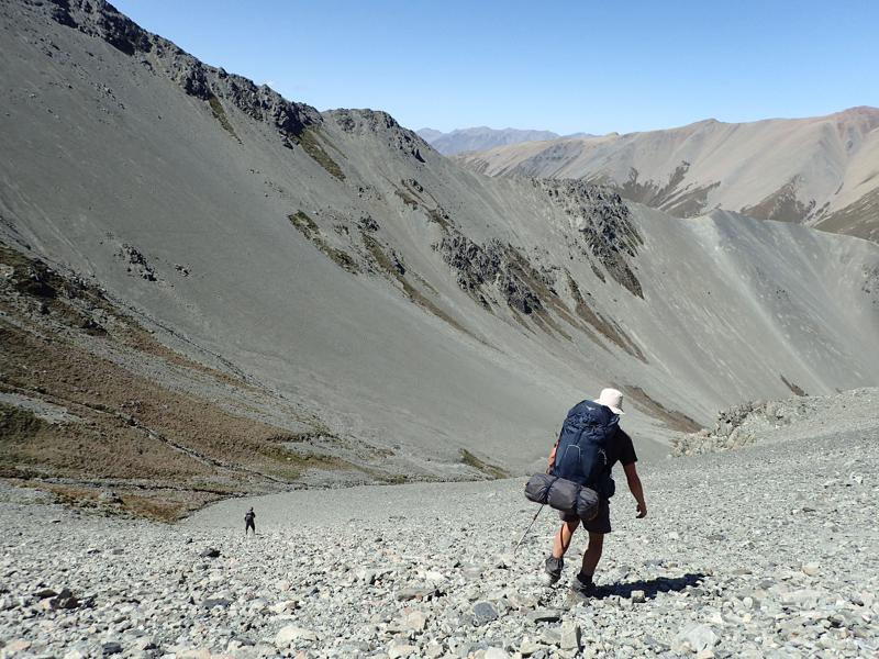
Before long we reach the bush edge. We follow the creek down through thickening beech forest. This slows our progress but eventually we pop out onto the Maitland Stream track and turn right, up towards Maitland hut.
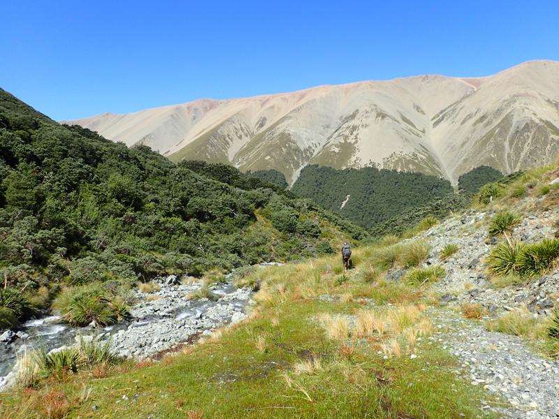
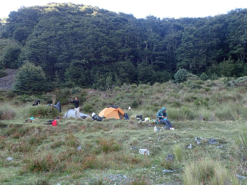
We find the small hut busy, after a chat with some of the trampers we continue onwards up the track to the bush edge. Here we find ourselves a spot for the tents and settle in for the night.
Day 3
The morning is overcast as we continue on through largely untracked tussock. We turn left up a side creek to make our way towards Dumb-bell Lake. There are more rough tracks to follow here, clear signs of others’ passing.
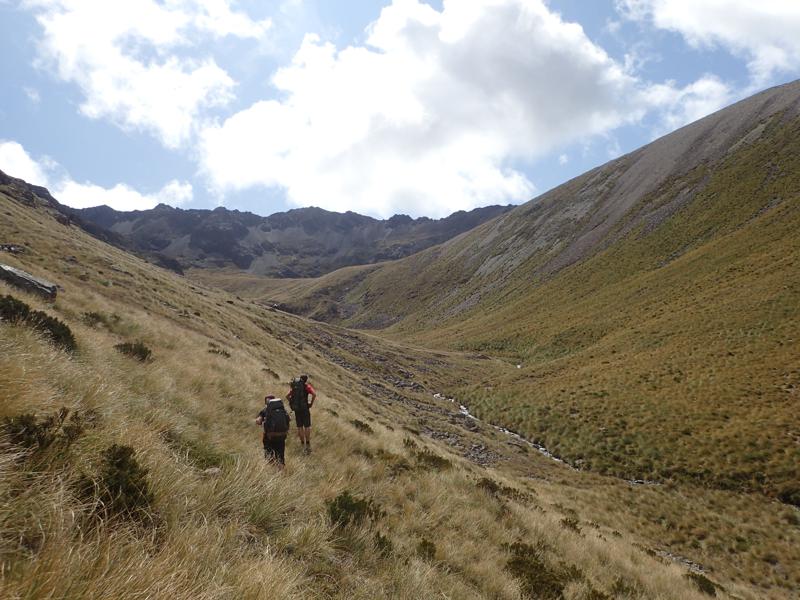
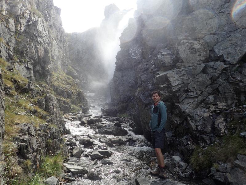
Below the outlet from Dumb-bell Lake, the creek gorges and we explore up to find a small waterfall.
After a refreshing break at Dumb-bell Lake, we head south up easy slopes to gain the ridge near the Pinnacle at 1817.
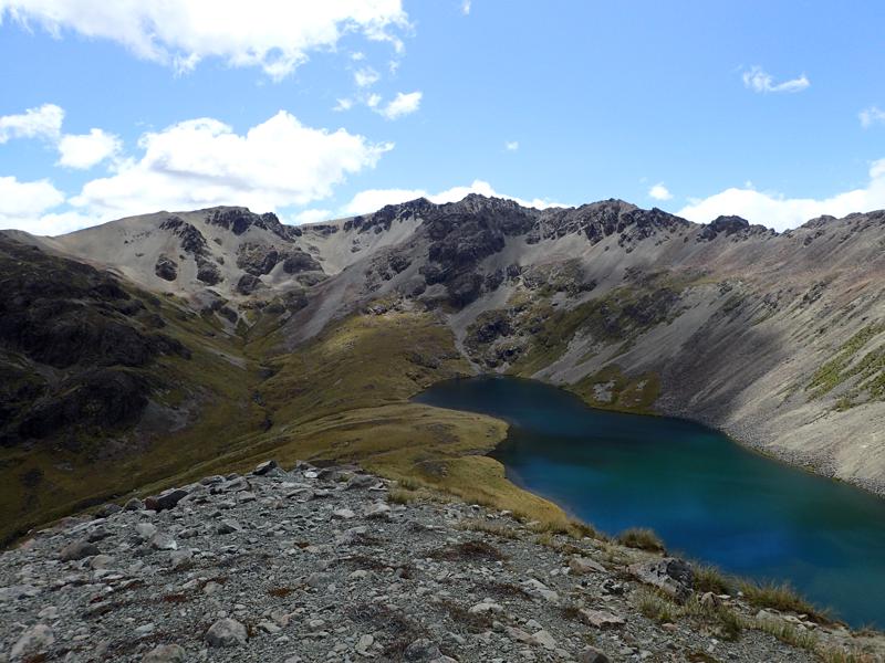
Looking west the way we came, we can see back into Maitland Valley and the ridge beyond.
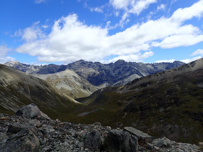
Looking east we can see down to Lake Ohau and the plains beyond.
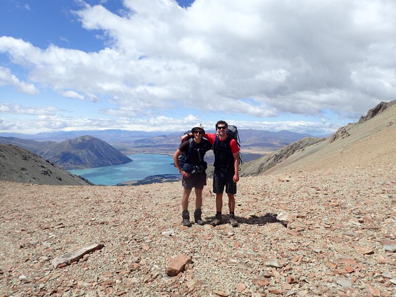
Heading south along the ridge, the way is rocky but easy going with gentle gradients and views all around.
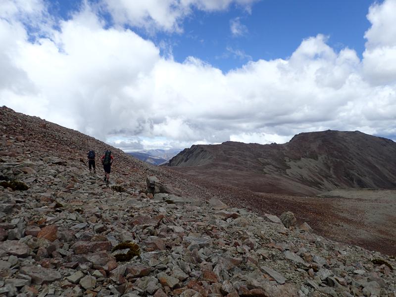
Looking east, we can now see down into the very upper reaches of the east branch of the Ahuriri. The rocks have acquired a pink tint on this side of the ridge.
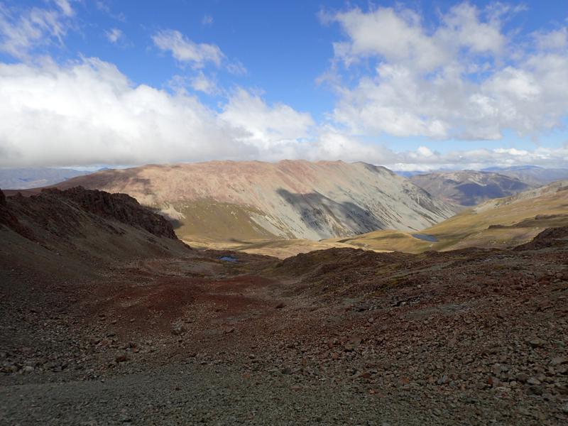
We descend into the valley to camp beside the lake at 1514. A small herd of Tahr are disturbed as we make our way down the irregular rocky slopes.
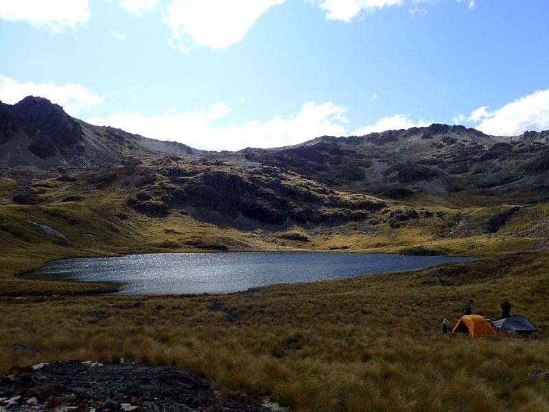
Our favourite campsite of the trip, we enjoyed views of the impressive amphitheatre in which we are encircled.
Day 4
From our campsite it was a short distance east through tussock down to the trail in the bottom of the valley. Here we turned north, beneath the ridge that we had traversed the previous day.
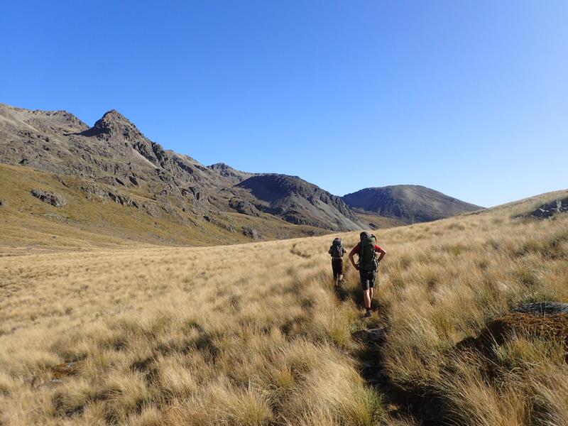
The track then turns east and drops more sharply alongside Freehold Creek, towards Lake Ohau.
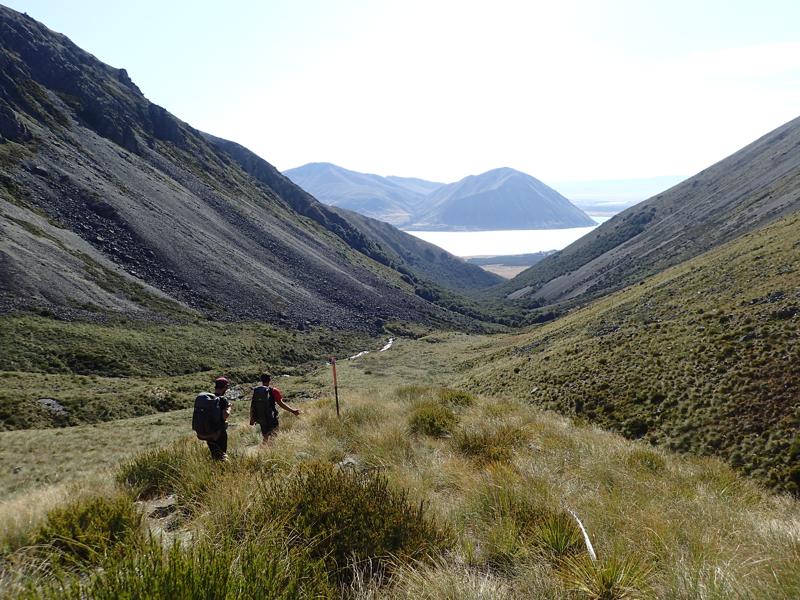
We follow the trail skirting along the base of the mountain slopes to come out onto the road at the lake shore. Its at least 18km back to the car at Temple Stream campsite, thankfully we are barely on the roadside 2 minutes before we hitch a lift with a passing hunter, heading up to the Huxley.
A great trip. It was really enjoyable to piece together our own route, crossing into multiple valleys. Many of the tops and ridges in this area are very accessible and there are also a great many mountain tarns, always welcome after hot days tramping.