Kaikoura - Hapuku Valley and Mt Fyffe
The walk in followed the Hapuku river, before turning up the west branch to Hapuku Hut.
The following morning we backtracked to the confluence and turned left up the north branch.
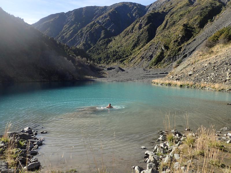
As a result of the 2016 earthquake, a large amount of rock had collapsed from the mountain around Surveyor Spur. A large part of the debris formed a natural rock dam in the upper Hapuku. This has backed up the river and lead to the creation of a small lake. We were keen to investigate and see some of this for ourselves.
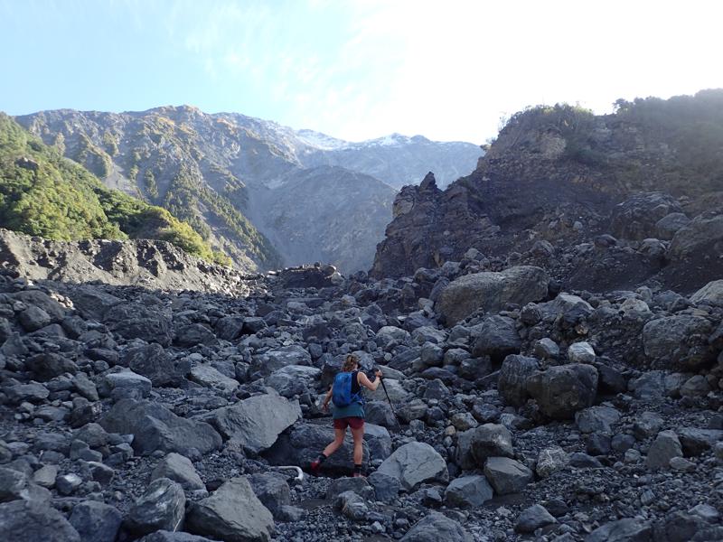
Since the lake formed, the lake built up and the flow appears to have worn a V notch in the dam wall. A large proportion of the water has been released, thankfully as this makes visiting the area much safer. There remains a small glacial lake behind the dam, which was sufficient for a very brief and refreshing swim.
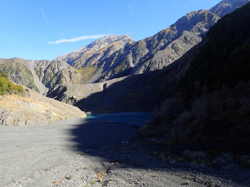
From just above the lake looking back down the valley the size of the natural rock dam can be seen.
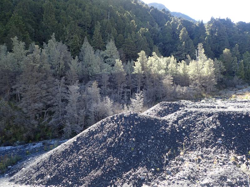
Trees close to lake seem to indicate the level of the lake was at one point much higher. Maybe as high as the distinct line of lichen seen here.
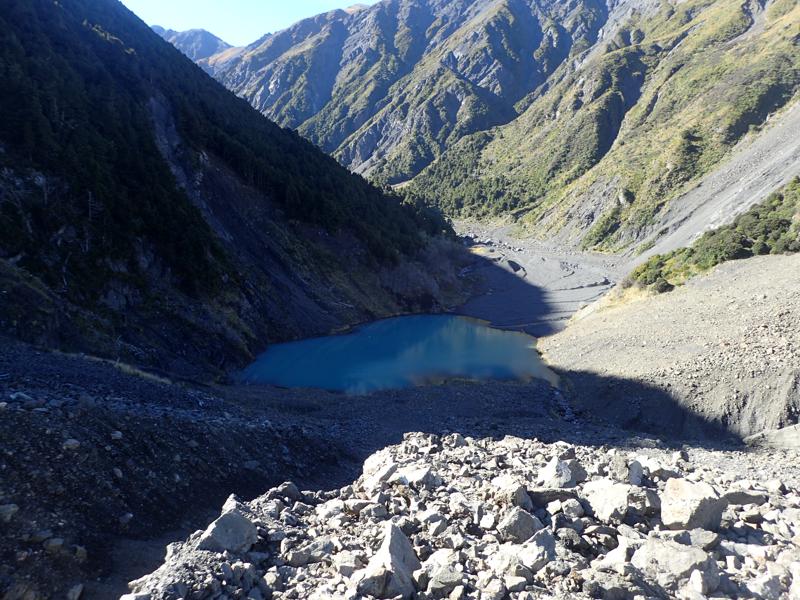
Looking up the valley from the top of the rock wall.
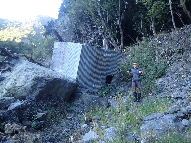
Descending back down to the confluence and turning up the west branch, the valley shows many signs of being unsettled. There are slips everywhere and the valley sides seem almost scoured by rock at a low level. The riverbed itself is made of silt, gravel and rocks of all sizes. There are none of the coloniser plants found elsewhere, the whole place seems much younger. At the edges of the valley base there are trees half submerged in rocks. Before turning up the west branch we spotted this upturned but almost undamaged hut. A number of huts were destroyed by the earthquake from further up the valley. Maybe this one wasn’t destroyed so much as swept away. Unfortunately no sign of a hut name or hut book inside could be found. However, some mugs and a glass were completely intact!
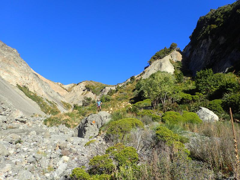
The next morning we continued up the west branch towards the saddle between the Hapuku and Kowhai rivers.
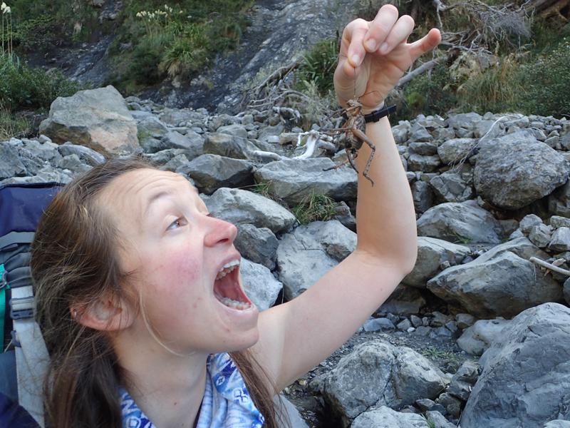
A dead Weta nourished us until lunchtime.
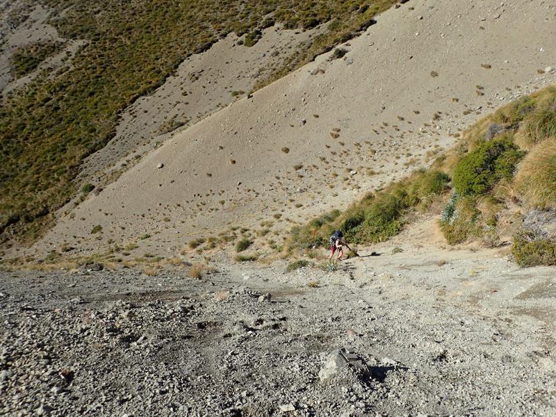
A scramble up sandy gravel to the saddle.
A fine view greeted us all around and down the Kowhai valley.
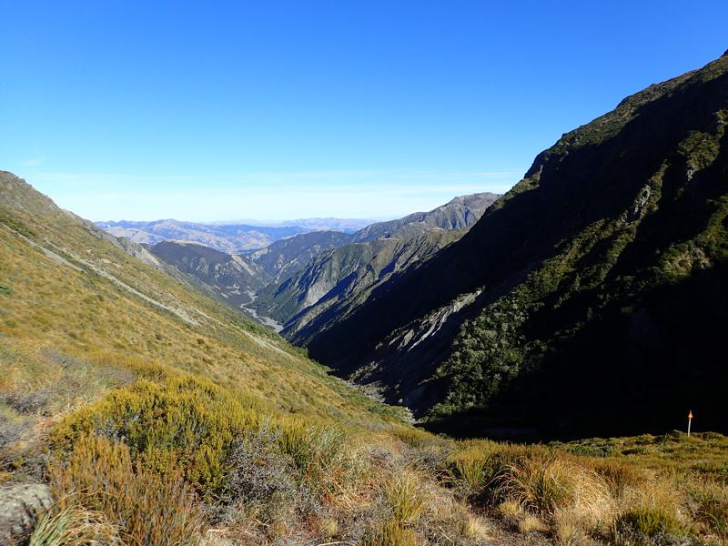
From the saddle we climbed up towards Mt Fyffe itself, instead of down the other side of the saddle. The steep and loose gravel continued for most of the climb.
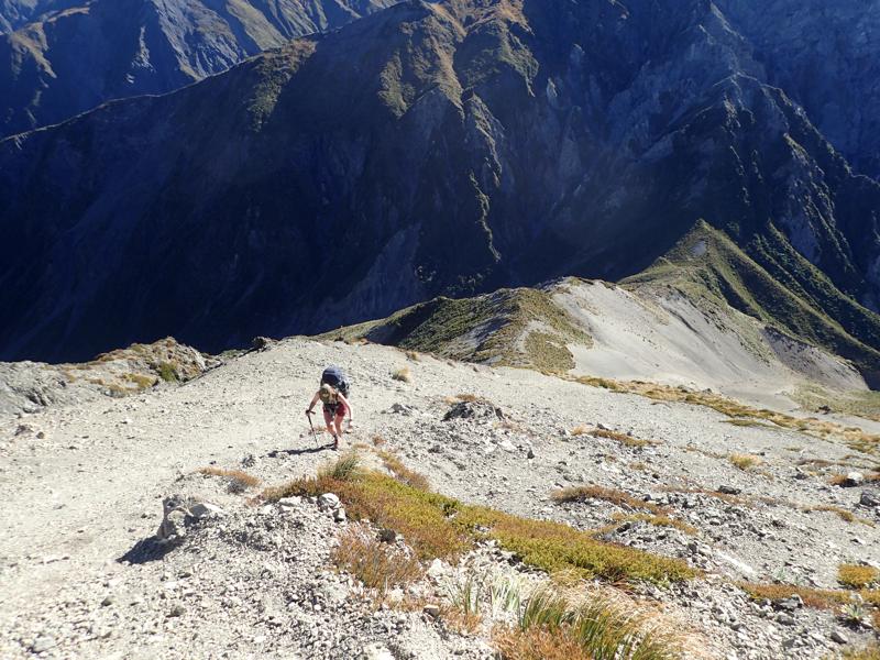
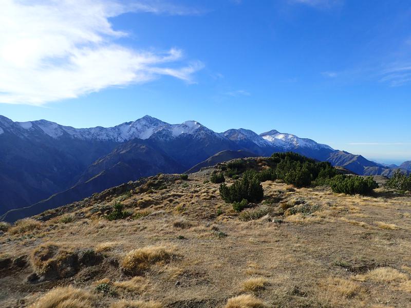
After the steep climb to Gables End, great views could be had all around. In particular back towards the Seaward Kaikoura Range and Uwerau (main snowy peak here I believe).
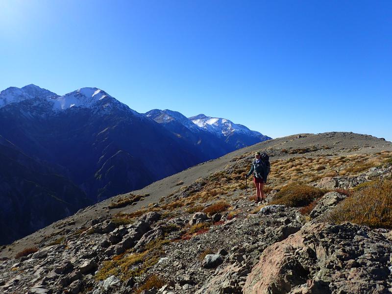
We continued along the top towards the summit, with more scree all around.
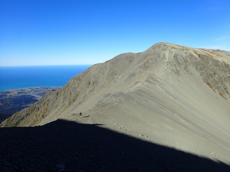
Unfortunately wilding pines have taken a strong hold of the area around the summit, as well as further on down the south western side of the mountain. They gave a strange feeling to the area and seemed very alien after the openness of the preceeding few kilometres.
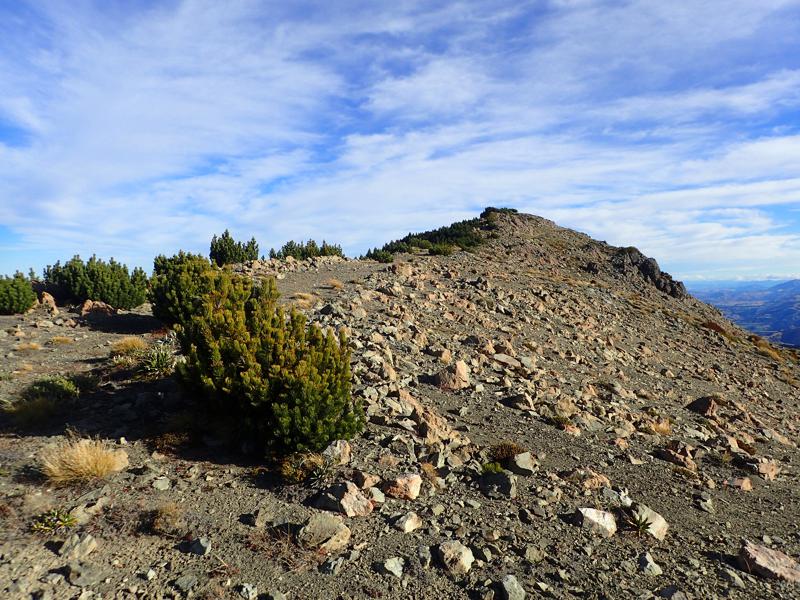
Great views from the summit.
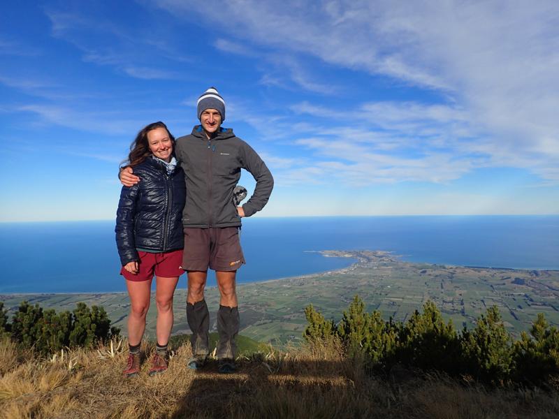
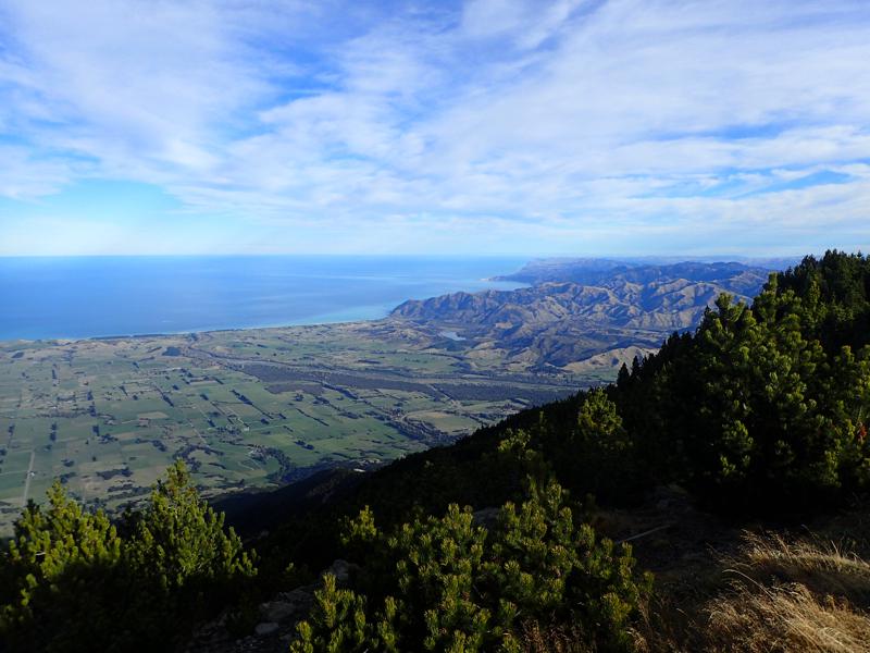
Looking south towards the coast.
Looking north back the way we had come, towards the Seaward Kaikoura Range.
From the summit we continued down to Mt Fyffe Hut for the night.
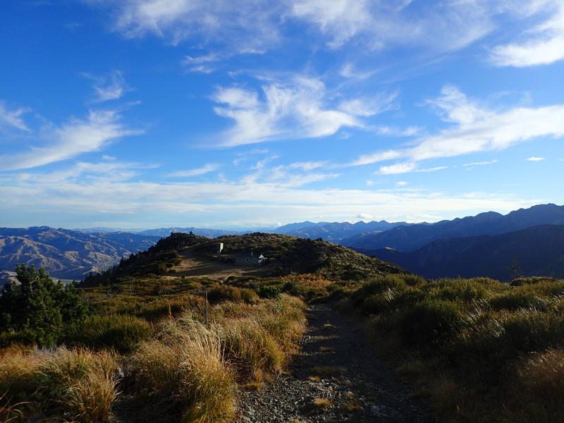
A glorious evening turned to night and we were treated to more great views of the night sky.
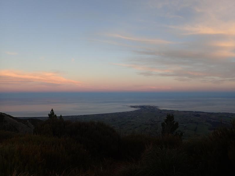
The following morning we made our way down the popular and well worn 4wd track to the car park, the opposite end of Mt Fyffe than from where we started. Now, how to get back to the car?
Whale Watching
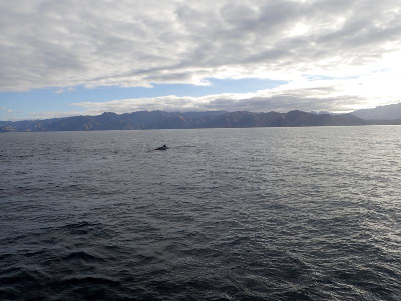
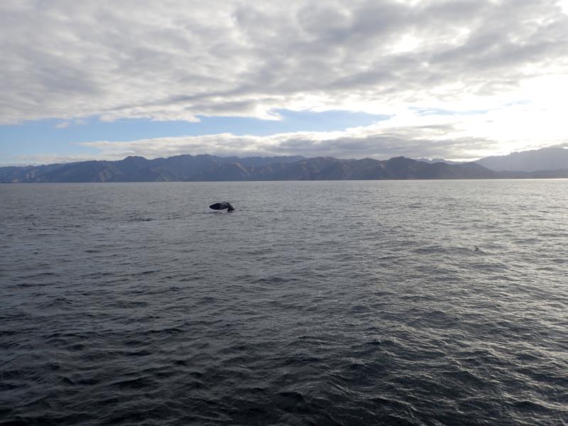
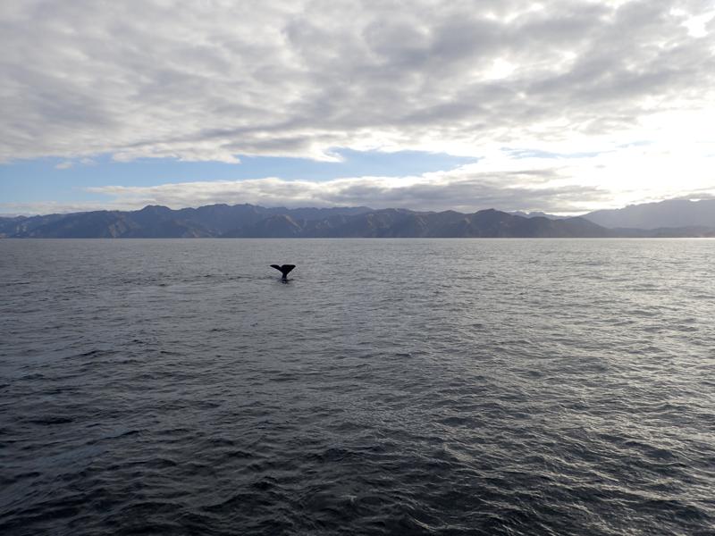
Following the hike, we spent a few days relaxing and exploring the peninsula. We took a whale watching tour and were lucky enough to see 2 of the local resident Sperm Whales.
