Fiordland - U, Glade and Dore Passes
Connecting U, Glade and Dore passes was a trip that we had been discussing for some time. There are varying reports on the difficulty of crossing Glade in particular. Prepared with as many accounts and route descriptions as we could find, we were excited to try for ourselves.
Day 1
Having camped in the Eglinton Valley the night before, we were able to get started promptly after a quick car shuttle and hitch. Following the track up Mistake Creek made for easy going and we were greeted with beautiful views of the upper valley. We made our way up the west branch towards U Pass and as we left the bush the morning clouds began to rise.
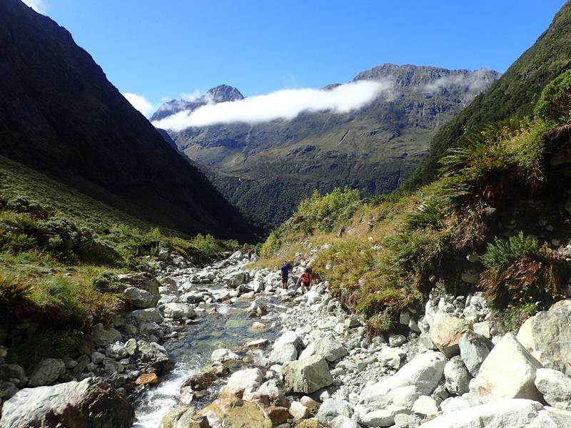
The primary obstacle to crossing U Pass is not the pass itself but finding a route around the waterfall guarding access to the upper basin.
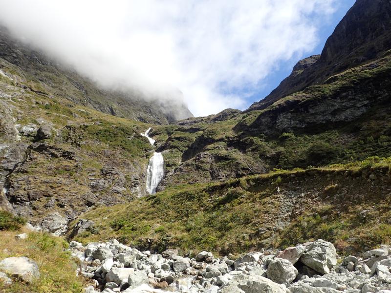
After some scouting of potential routes on the true left of the base of the falls, we found a reasonable path up. Initially following an easy rocky scramble adjacent to the falls, there was one easy but exposed step up and over a grassy bank. From here we scrambled up tussocky slopes as pictured below.
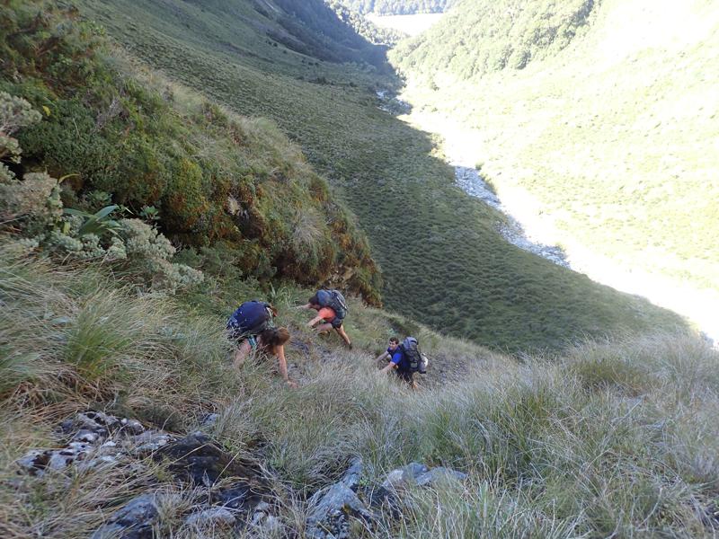
A small stream flowing through this area made the exposed rock slippery, but with caution the ascent is relatively straightforward. Personally I would not be overly eager to descend this section due to lack of visibility down the slope.
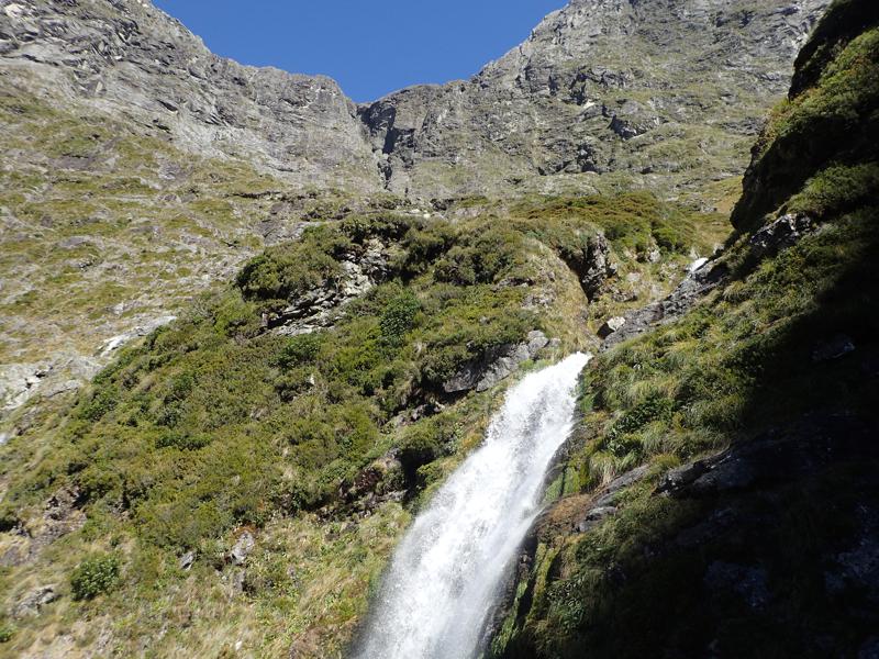
After cresting the top of the waterfall, the valley opens out in a flat basin. This would make a stunning campsite.
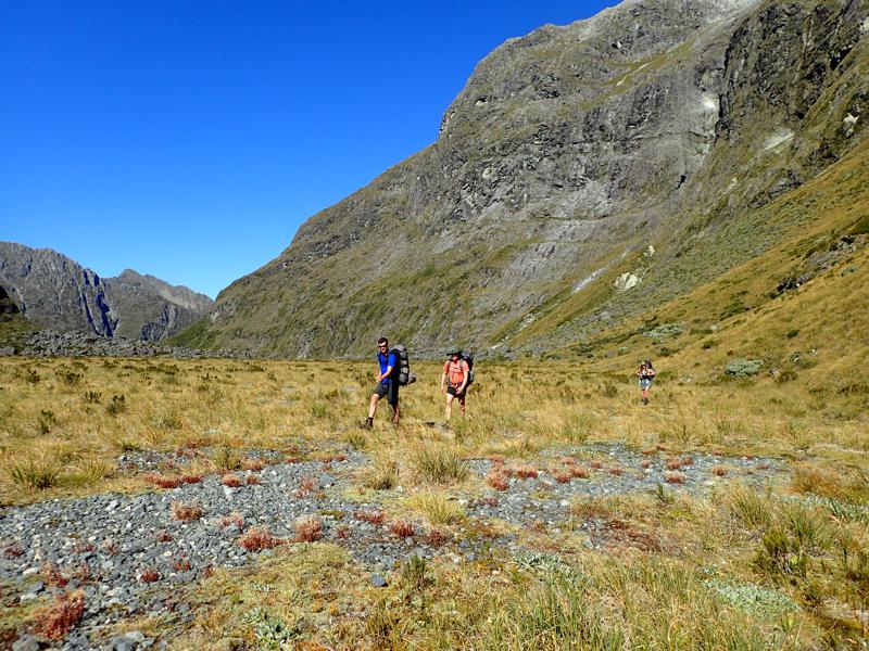
It is a short and easy walk from here to the base of the climb up to the aptly named U Pass.
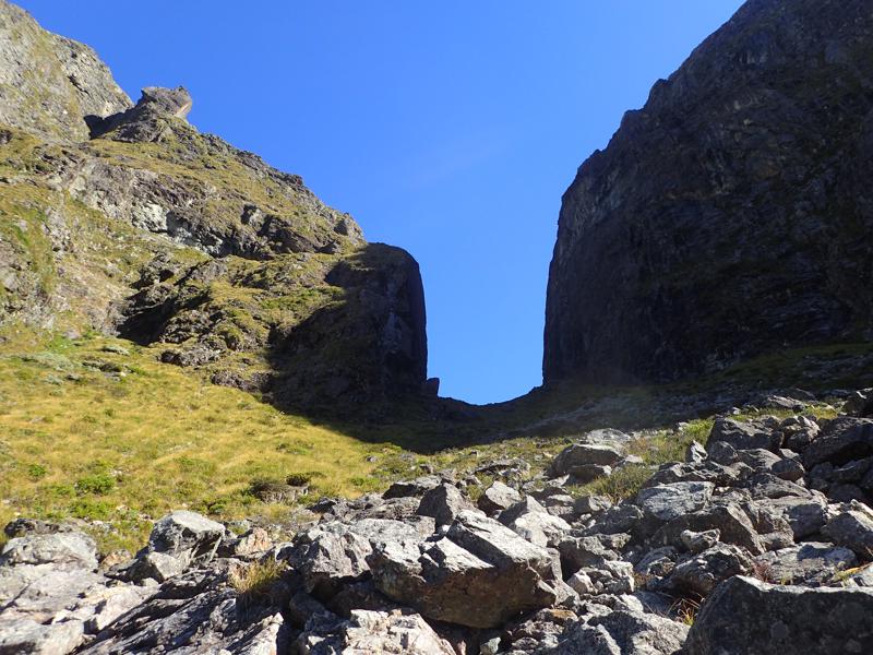
From the pass itself we were afforded our first views down into Hut Creek and could even see up the beginnings of the side valley leading to Glade Pass. Descending is steep and rocky but not technically difficult.
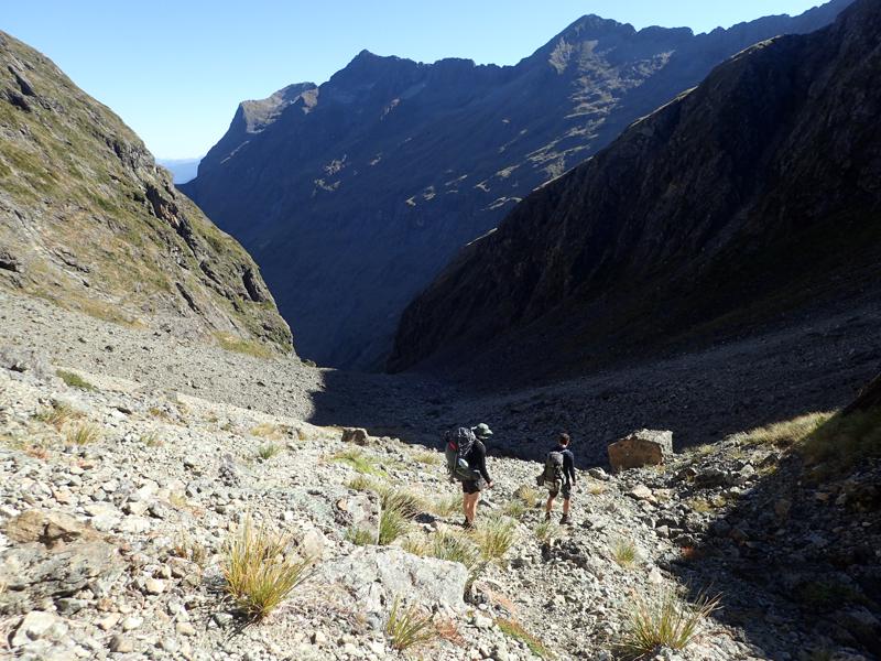
The creek bed gorges towards the lower half before opening out again at the valley floor.
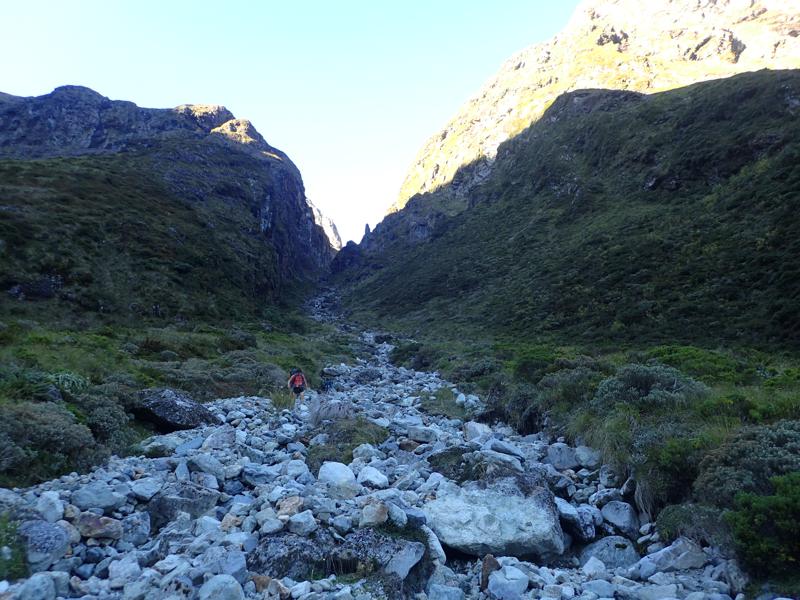
On reaching the flats of the upper valley we were able to find rough camp spots without much difficulty. The main creek was dry but water could be found where side streams arrived steeply at the valley floor.
Day 2
The next morning we awoke to cloud smothering the valley. Knowing good visibility would be vital for crossing Glade Pass, we were unhurried in getting packed up and starting up the side valley.
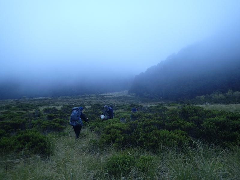
Easy going up towards Glade Pass, we scouted ahead a little without packs. The cloud was burning off very quickly and before long the upper reaches were completely clear.
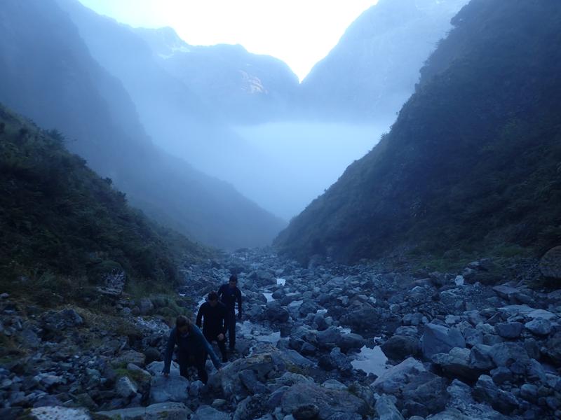
With the cloud now completely lifted, we could easily identify the last grassy slope on the true right near the top of the valley which was our route up and over. It can be seen here, with the lower section in shadow.
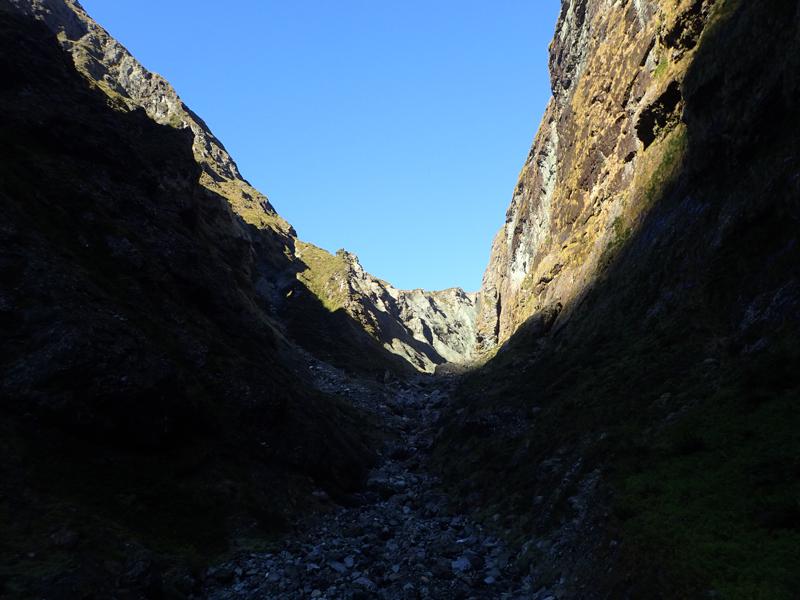
The initial ascent is steep but straightforward, following a dry stream bed through vegetation. Above this section lies the main obstacle of the pass. A small waterfall in the stream path forces you to traverse left and then back right to gain the top of the waterfall. A number of steps are exposed to a drop of several metres but once you have passed this the climb continues in much the same vein as previously.
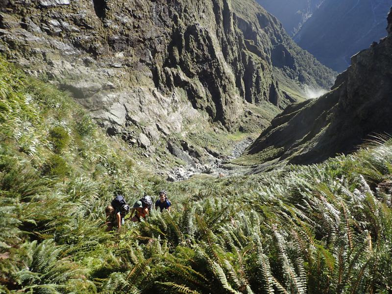
The final section involves a traverse on steep vegetated slopes to the pass itself. From here we were rewarded with beautiful views, particularly back towards yesterday’s U Pass.
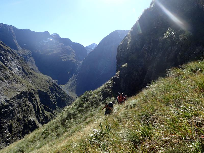
Due to the mixed reports of the difficulties of traversing this pass, we were all pretty happy to have reached this point.
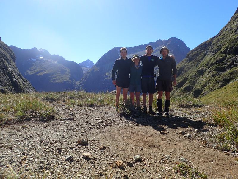
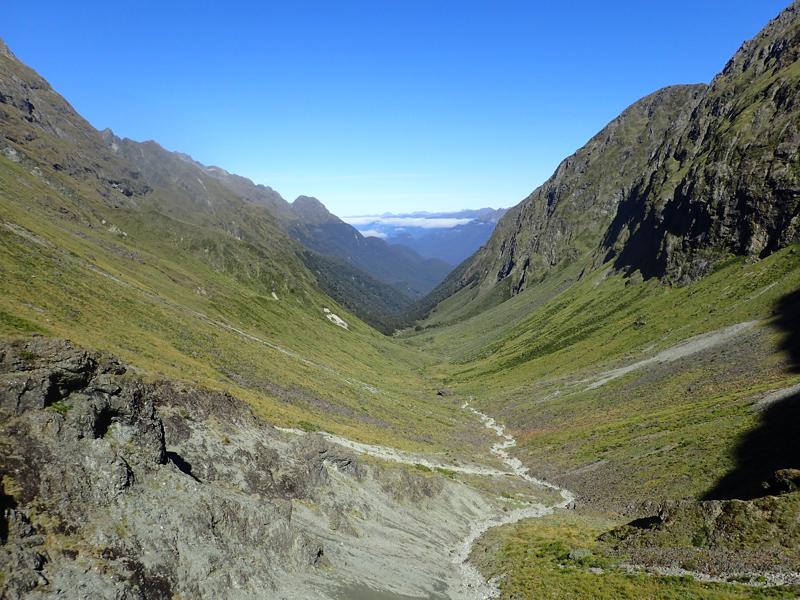
From the pass we could admire the views down Glade Burn and also see our way ahead. The initial descent down the south west side of Glade Pass is straightforward and the route down to the bush line follows any number of deer trails, we followed the true right for the most part.
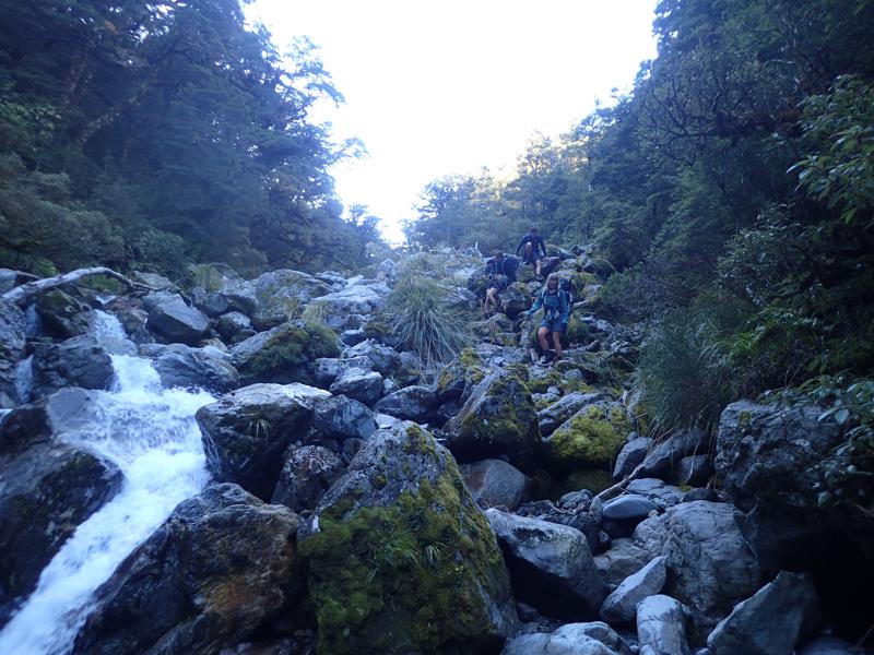
There remained around 4km of bush travel to our intended campsite, near where the Dore Pass Route crosses Glade Burn. After a brief attempt at bush bashing down the true left of the creek, we quickly opted for easier travel rock hopping and scrambling down the creek itself. At sections the creek gorges in considerably and any bush bashing route would have to detour significantly. Descending the creek was slow and difficult at times and this section certainly took longer than expected but there were no real obstacles to our progress. However if the creek was running high this would likely become much more difficult.
With very little warning the creek suddenly opens out and Lake Te Anau appears below us. We quickly reach the Dore Pass Route crossing and not far below we manage to tuck ourselves away in the bush for a cosy camp spot.
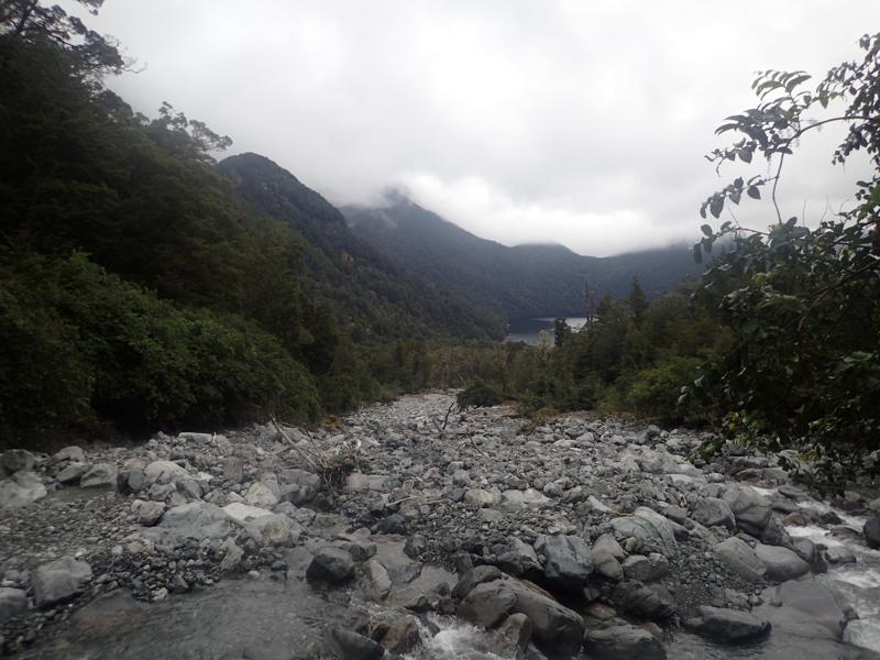
Day 3
Following the pattern of the previous 2 days, we wake to murky low cloud. Straight into the climb up the Dore Pass Route, we enjoy the luxury of a well marked track through the bush. The damp mist is a welcome coolness as we climb steeply. Emerging from the bush, the cloud persists.
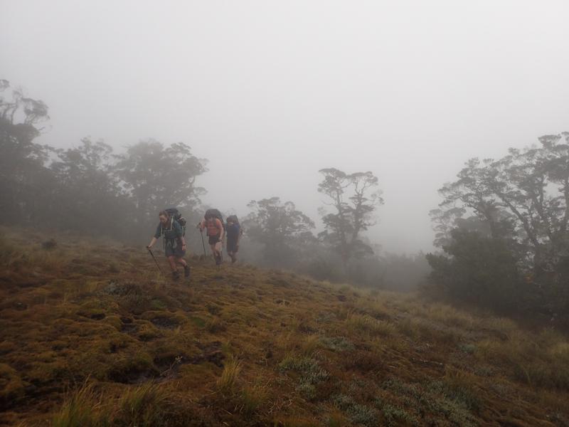
A little higher, some gentle swirls of cloud, a couple of teasing glimpses; then blue skies and mountain peaks emerge as islands above the seas.
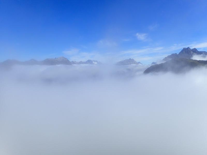
Clouds are thinning quickly now and we are feeling high on the sudden beauty and majesty all around us which was previously hidden.
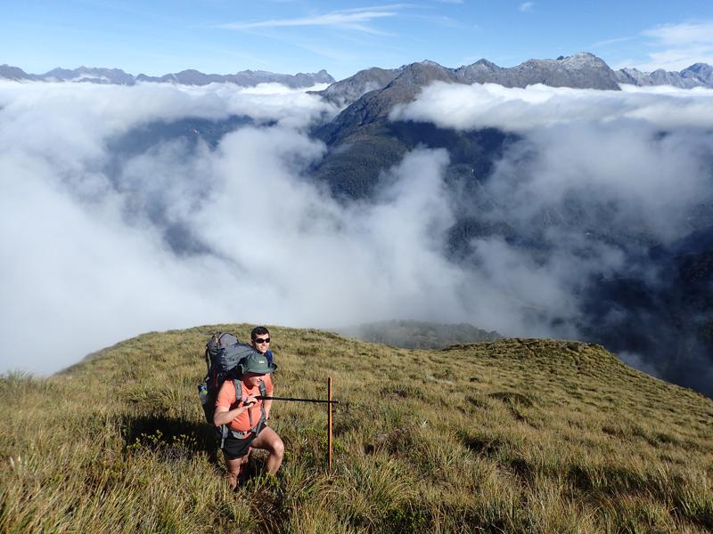
Looking north towards yesterday’s Glade Burn.
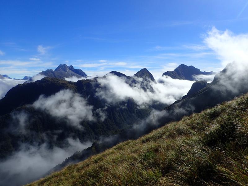
We climb higher and follow the route as it contours around towards the main pass. There are frequent pole track markers, although in thick cloud these would be harder to follow. A few eroded sections of trail result in slightly exposed steps but the trail is generally easy going.
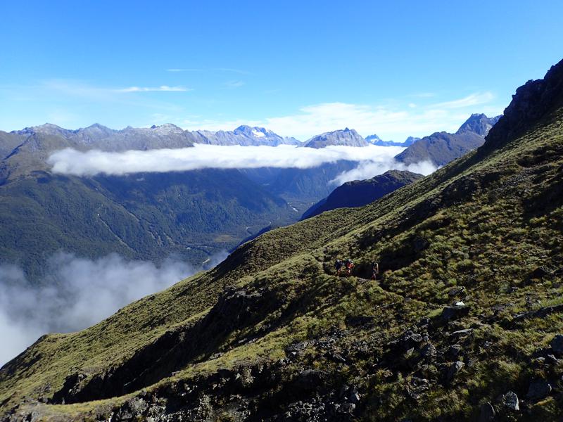
The descent down the other side is steep but easily followed. Joining Murcott Burn briefly before contouring then descending a rough bush track, we are finally rewarded with the wide open space of Eglinton flats. We cross the river easily and arrive at the road beyond.
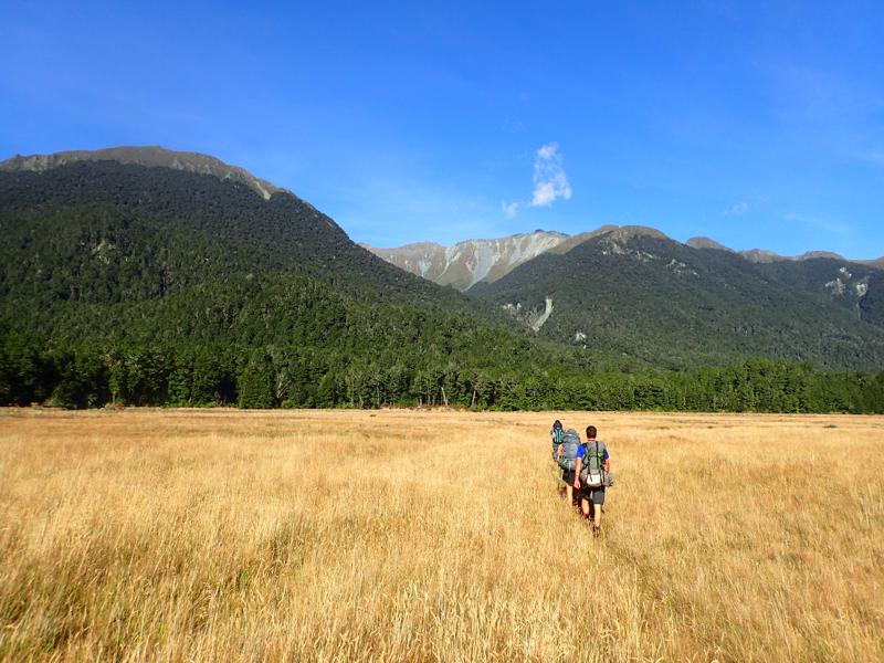
A very rewarding 3 days. We were lucky to have almost perfect weather. Rain or poor visibility would have made several sections of our route much more difficult and potentially dangerous.
In the state that we experienced them, we found the waterfall section of U Pass significantly more troublesome than Glade Pass. This was contrary to our research. Glade Pass is almost all steep but straightforward, with a short series of steps exposed to a drop of several metres. We may well have followed an alternative route up the U Pass waterfall section but what we did best matched the Moir’s guide description from our scouting. This led to a more prolongued exposed passage across more dubious terrain than Glade.
That being said, its important to always make the best decisions for yourself and your group, do not blindly follow others’ advice. For those with the right experience and luck with Fiordland weather, this is a brilliant adventure and one of my highlights of tramping in New Zealand.