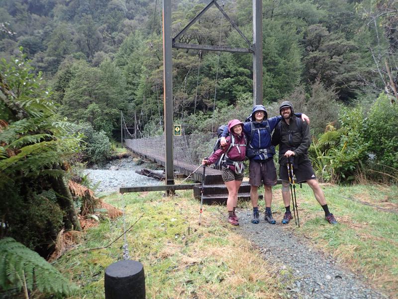
Fiordland - The Hollyford
While my time in New Zealand was drawing to a close, there the was appetite for one final adventure. We had read a trip report of the current Fastest Known Time for the Hollyford-Pyke loop in Fiordland and an attempt on this time seemed suitably ambitious.
The Hollyford river track is well marked with bridges across all major river crossings, in contrast the track following the Pyke river is classed a ‘route’ and therefore less well marked, with no bridges and some significant river crossings. It also has just 1 hut across its length in comparison to 3 along the Hollyford.
The forecast for the area was mixed in the preceeding week and we were well aware of the likelihood that we would need to be flexible in our plans.
Day 1
3 of us made the hike in to Lake Alabaster hut in preparation to begin our attempt at the FKT the following morning.
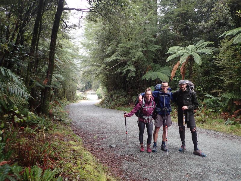
This initial section of the Hollyford track from the road end is very well made and maintained. Work is still ongoing in some spots to repair damage which resulted from the massive flooding that hit the area in early 2020.
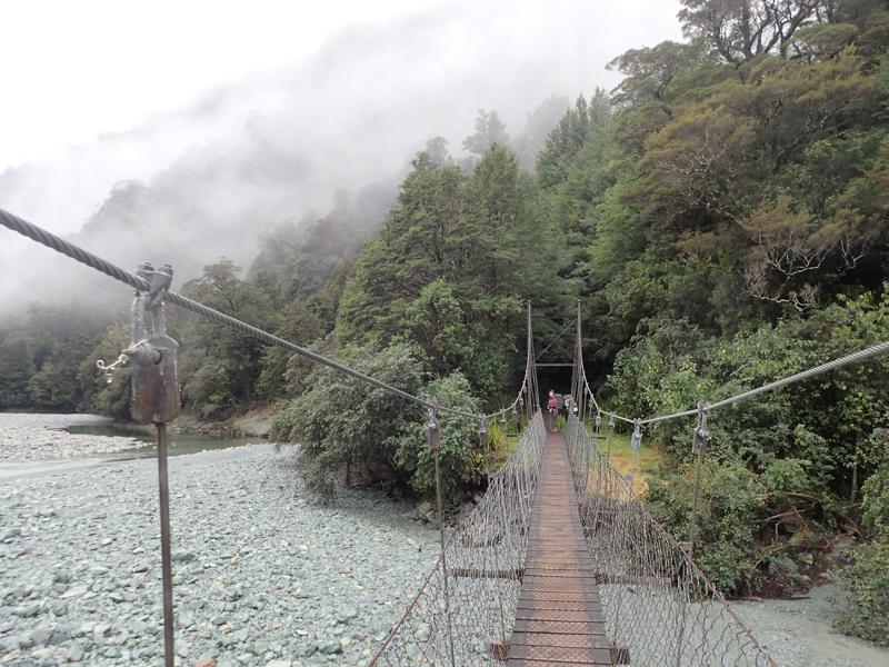
For the most part the track winds its way down the valley following the river.
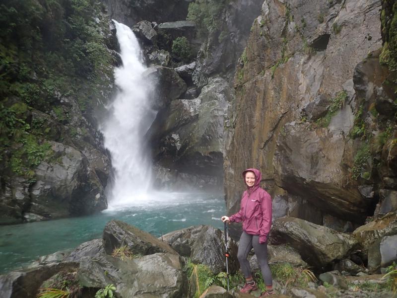
Roughly halfway between the road end and Lake Alabaster lies Hidden Falls (and its namesake hut), particularly dramatic for its rock formations.
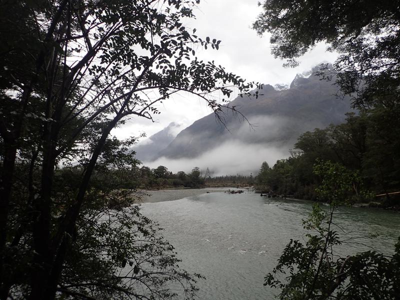
Occasional views downstream are afforded by gaps in the bush, here we are nearing the confluence with the Pyke.
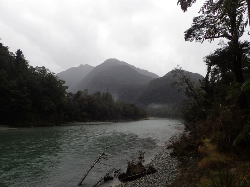
Arriving at Lake Alabaster hut as darkness fell and the Fiordland drizzle developed into steady rainfall, we were sure to arrange small cairns on the lake shore to monitor the water level rise.
Day 2
Waking early, it was clear the lake had risen considerably. Our initial plan to take the Pyke route upstream first was already looking dubious. We opted instead to follow the Hollyford downstream, monitoring the rain throughout the day in order to make a decision on the suitability of the Pyke for the day after. We would always have the option of retracing our steps due to the presence of walkwires and bridges across the worst of the river crossings along the Hollyford track.
Tramping through the bush in the early morning gloom and drizzle is fairly mindless, existing only in the little bubble of headtorch light. We made quick progress and were pleased as the day brightened and we were greeted with views of the Hollyford and the upper reaches of Lake McKerrow and its island.
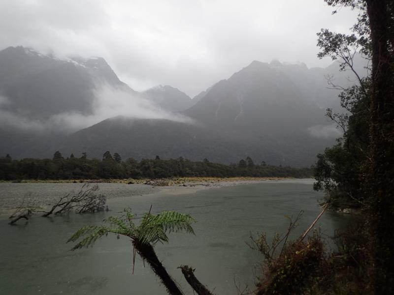
Of the Hollyford track itself, the majority of the section alongside Lake Mckerrow is known as the Demon Trail. Built by early pioneers, it is in parts gloriously well graded and smooth and alternatively steep, rough, rocky and slippery. Most of the creeks emptying into the lake are short and steep, presumably needing continuous torrential rain to raise their levels. Even so, they are nearly all bridged.
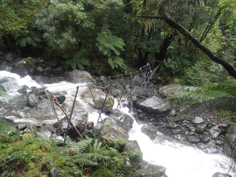
The openings in the bush caused by the creeks provide welcome views. We stop only briefly at the huts we pass to write our intentions in the hut books and snack on re-hydrated hummus and various other treats.
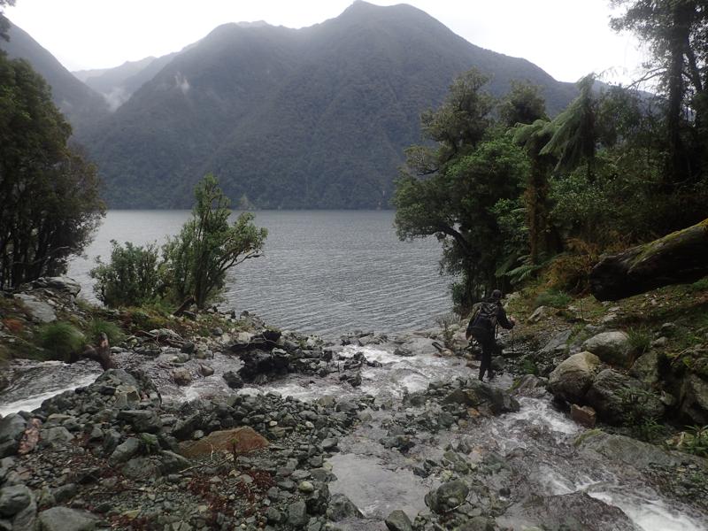
Following the Demon Trail section we are rewarded with easy travel along the lake shore, where we pass by the Jamestown settlement. Originally touted as Otago’s west coast port, it is an interesting example of pioneering ambition which didn’t pan out as intended.
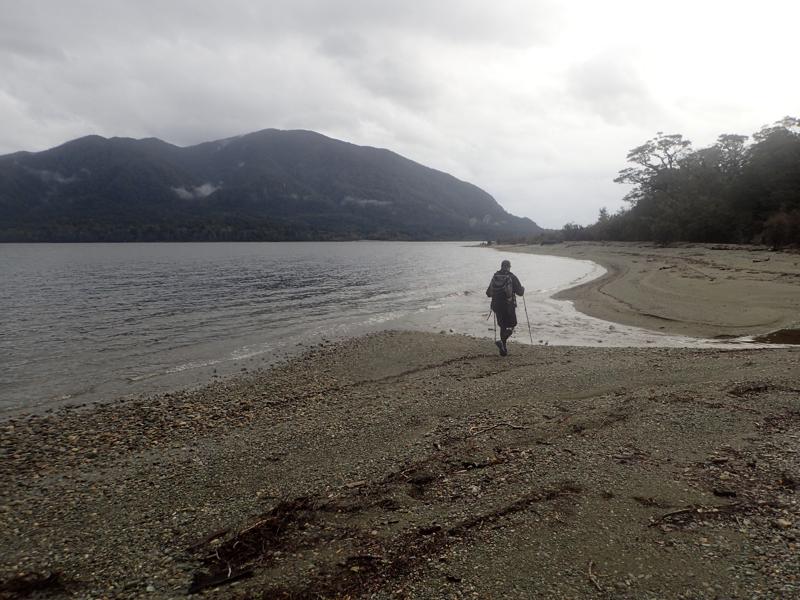
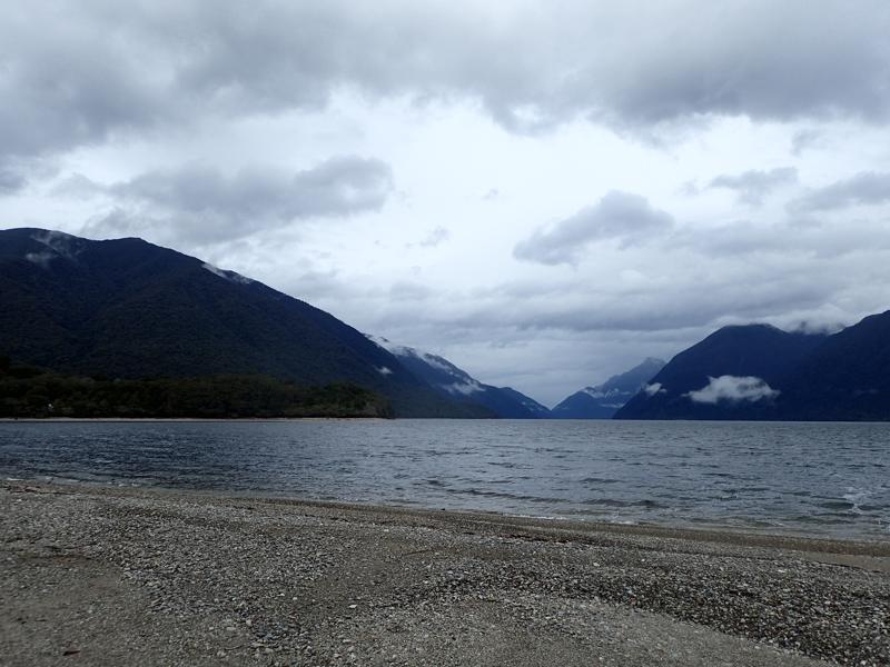
Being out of the bush again provided some welcome perspective on this beautiful area; looking back up Lake McKerrow where we had come from earlier that day.
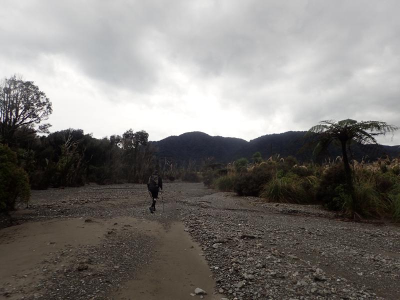
Departing the lake, the flat gradient continues and allows for more easy travel through the bush. Here we are nearing the coast and passing through an area of sandy gravel and sparse trees.
Up a slight rise along an undulating track parallel to the coast, we are afforded a first view of the wild west coast. I reflect on the fact that I haven’t been to the west coast since my first travels around New Zealand in 2018.
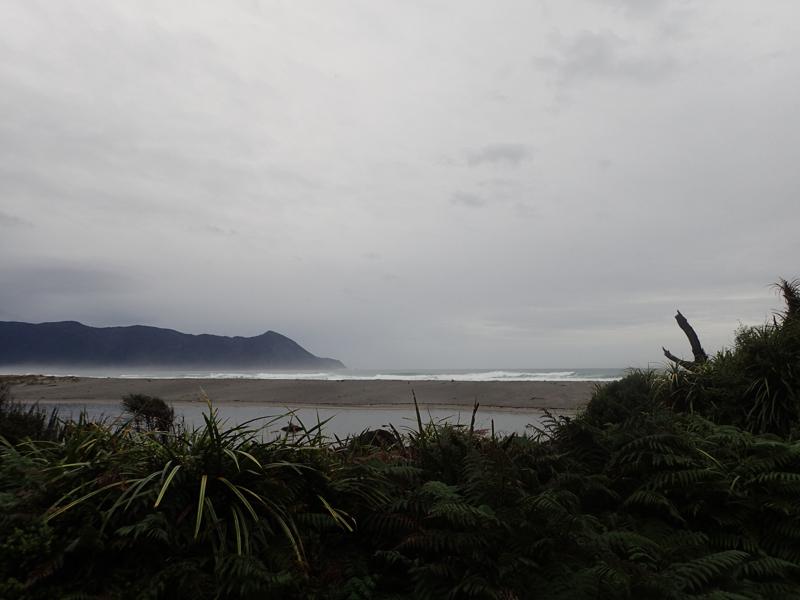
Reaching Martins Bay hut for a quick break at 4pm, we are eager to make the most of the end of the daylight to start our way around into Big Bay. The rain has stopped since mid morning and we are optimistic about the state of the Pyke.
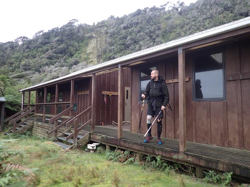
Leaving Martins Bay hut we skirt the beach and the original mouth of the Hollyford. The river used to take a big meandering curve to pass in front of the hut, those same floods that caused massive disruption in the area in early 2020 also resulted in the river bursting straight through the sandbar and cutting a new path to empty directly into the ocean. The original path of the river remains as a stationary lagoon. An ever evolving landscape.
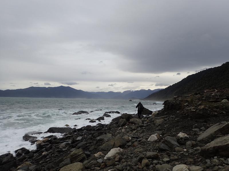
A freshly cut track through flax allows us to skirt the seal colony at Long Reef Point and provides some Fiordland mud swamps. On the Big Bay side of the point we follow the rocky shoreline in towards Big Bay itself. We have been on our feet for 12 hours by now and the rough loose rocks underfoot are awkward and hardwork for tired ankles.
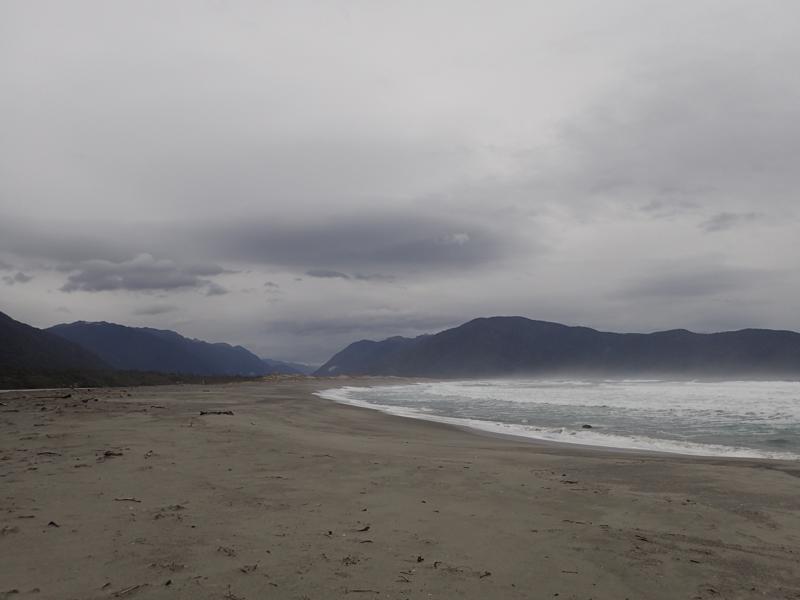
Darkness falls and finally we turn the corner onto Big Bay beach itself, it is another few kilometres and some anxious scanning inland with headtorches before we spot the pole marker towards Big Bay hut. Finally we can take the load of our feet and begin to recover from the day. It is warm in the old hut and we are not even sure if we need to light the fire. In the end it catches easily and we are warm throughout the night. However, as we tuck into our cold dinner the light drizzle which had started at dusk becomes increasingly persistent. We tell ourselves it is misleadingly loud on the tin roof. I generally love the sound of rain on a hut roof when I am snug and cosy inside. Yet as we lie in our bunks every rise in the tempo drumming overhead increases my anxiety of what tomorrow might bring.
Day 3
Rising early again, we discuss our plan for the day. Throughout the night the rain had increased, neither of us had heard it let up at any point and it was persisting even now. Reassuringly we both agreed that an attempt on the Pyke would be foolhardy at best. With proper food for just 1 more day and no tent between us, any delay on the Pyke route had the potential to be a little unpleasant. Heartbreaking as it was to consider retracing our steps along the rough and rocky sea shore which had been such a struggle the previous evening, as soon as we had made the decision to return via the Hollyford a certain weight was lifted from our shoulders. Going all the way back up the Hollyford was no small ask and our bodies were going to be in a sorry state by the end, however the knowledge that there were no real obstacles in our way was greatly reassuring.
I’m sure Big Bay is beautiful but arrving and leaving in the dark… I have fonder memories of Martins Bay! The first light of dawn arrives as we approach the end of the sea shore section. Harsh guttural squawks from the bush suggest the presence of penguins but they didn’t emerge.
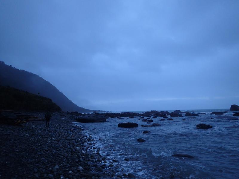
Returning to Martins Bay, the rising mist offers some magical coastal views.

The rain turns to drizzle and clouds begin to thin.
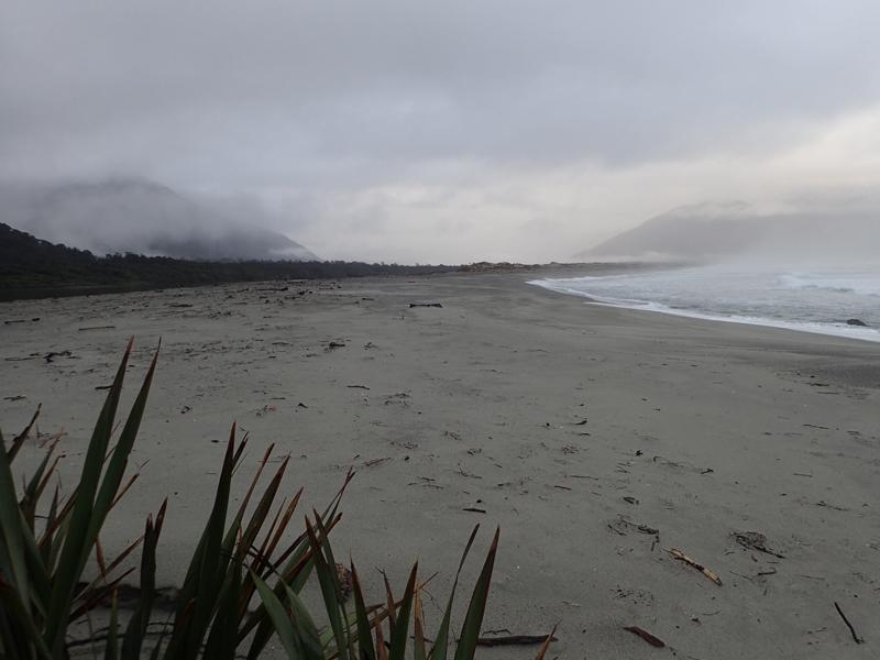
The newly formed lagoon near Martins Bay hut offered some stunning reflections.
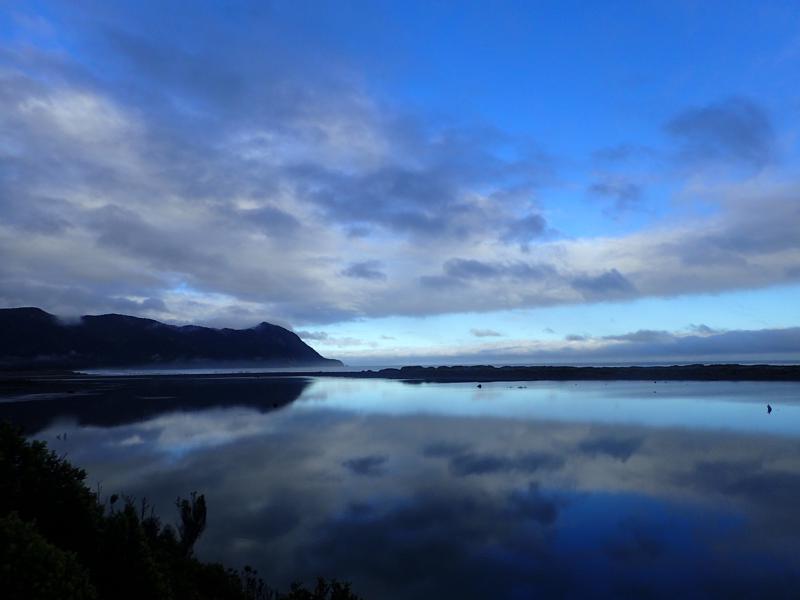
We make good time again along the flatter sections of the trail. As we continue our bodies’ complaints increase. The climbs and descents of the Demon Trail are more of a trial as knees and hips continue to express their displeasure. Glimpses of blue sky and the first view of surrounding peaks are worthy rewards.
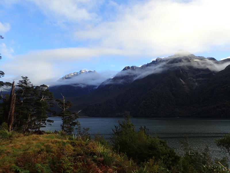
The final few hours in darkness from Lake McKerrow island back to the Pyke river bridge are a struggle. The terrain is undulating and repetitive. Tired and sore, existing only in our little pocket of torch light, we could easily be walking around in circles. Finally the bridge emerges from the gloom; we are finally on the home straight. Barely 20 minutes along a smooth track and Lake Alabaster shore and the hut appears before us.
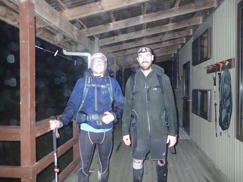
The 3 of us reuniting was a relief to all. After a brief dip in the lake and some hot food, we gratefully fall into our bunks. Even though we had not been able to complete our intended route, we were still very happy with our accomplishments. I’ve never gone so far in such a short time and we both certainly learnt a lot about what we could really do. 110km in 38hrs10mins, no wonder we were feeling broken…
Day 4
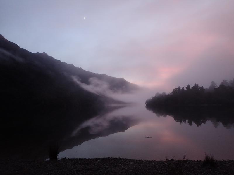
To cap it all off, we of course had to return the way we came and complete the 20km back out from Lake Alabaster to the road end. The morning was misty and magical over the lake.
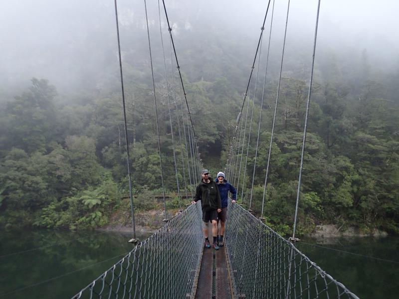
A very short detour to see the Pyke river bridge, which we had only previously experienced in the dark.
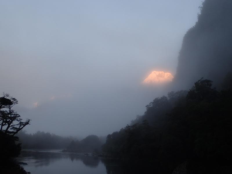
The track is mercifully smooth and flat for the most part. We enjoyed the emergence of dramatic peaks as the cloud thinned.
It was a great relief to reach the final swing bridge signifying the end of the track. Quite a trip and some memories well made.
